Introduction
Geographic Information System (GIS) technology has become an integral part of mobile application development, enhancing user experiences and providing valuable location-based insights. In this article, we’ll explore the diverse applications of GIS technology in mobile apps, showcasing how it contributes to innovation in various industries.
Location-Based Services (LBS)
GIS enables the integration of precise location data into mobile applications, allowing developers to offer personalized and context-aware services. From navigation and weather updates to location-based notifications, LBS powered by GIS enhances user engagement and convenience.
Mapping and Navigation Apps
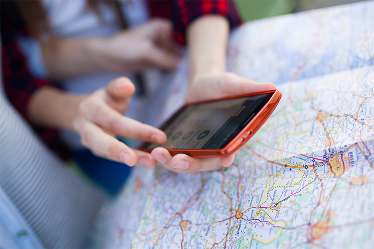
GIS plays a pivotal role in mapping and navigation applications, providing real-time location data, route planning, and interactive maps. Services like Google Maps and Mapbox leverage GIS to deliver accurate, up-to-date information, making it easier for users to navigate unfamiliar terrain.
Real-Time Traffic Analysis
Mobile applications that incorporate GIS technology can offer real-time traffic updates, helping users plan efficient routes and avoid congested areas. This is particularly valuable for commuters, delivery services, and logistics companies.
Emergency Services and Disaster Response
GIS technology assists emergency services by providing location intelligence during crises. Mobile apps equipped with GIS can aid in disaster response, helping responders locate affected areas, plan evacuation routes, and coordinate relief efforts.
Geotagging and Social Media
Social media applications use GIS to enable geotagging, allowing users to share their location along with content. This enhances the user experience by adding a spatial context to shared photos, status updates, and check-ins.
Retail and Location-Based Marketing
Retail apps leverage GIS to offer location-based marketing strategies. By understanding user locations, businesses can send targeted promotions, discounts, and advertisements, enhancing the effectiveness of their marketing campaigns.
Field Data Collection
Mobile applications with GIS capabilities are essential for field data collection. Industries like agriculture, environmental monitoring, and urban planning use GIS-enabled apps to gather, analyze, and visualize spatial data directly in the field.
Tourism and Location-Based Information
Tourist apps utilize GIS to provide users with interactive maps, information about nearby attractions, and personalized recommendations based on their location. This enhances the overall travel experience and helps users explore new destinations.
Fitness and Health Tracking
Fitness apps integrate GIS technology to track users’ outdoor activities, such as running or cycling. By overlaying route information on maps, these apps offer detailed insights into users’ exercise routines and progress.
Augmented Reality (AR) Experiences
GIS enhances AR experiences in mobile apps by providing accurate location data. AR navigation apps, city guides, and gaming apps use GIS to overlay digital information onto the real world, creating immersive and interactive experiences.
Asset Tracking and Management
GIS technology facilitates asset tracking in industries like logistics, construction, and utilities. Mobile applications equipped with GIS can monitor the location and status of assets, optimizing inventory management and resource allocation.
Environmental Monitoring
Mobile apps with GIS capabilities contribute to environmental monitoring efforts. Scientists and researchers use these apps to collect and analyze spatial data related to ecosystems, climate change, and natural disasters.
Infermation
Services
Contact Us
- +91 7205154482
- info@alysiancreative.com
- #H1/1, Ground floor, Arya Village, Panchasakha nagar, Near Beleswar Shiv Temple, Bhubaneswar, Odisha - 751019
Subscribe Newsletter
Copyright © 2025 Proudly powered by Alysian Creative All rights reserved.


